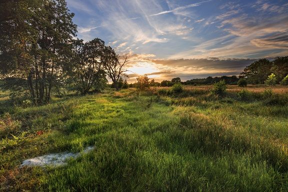
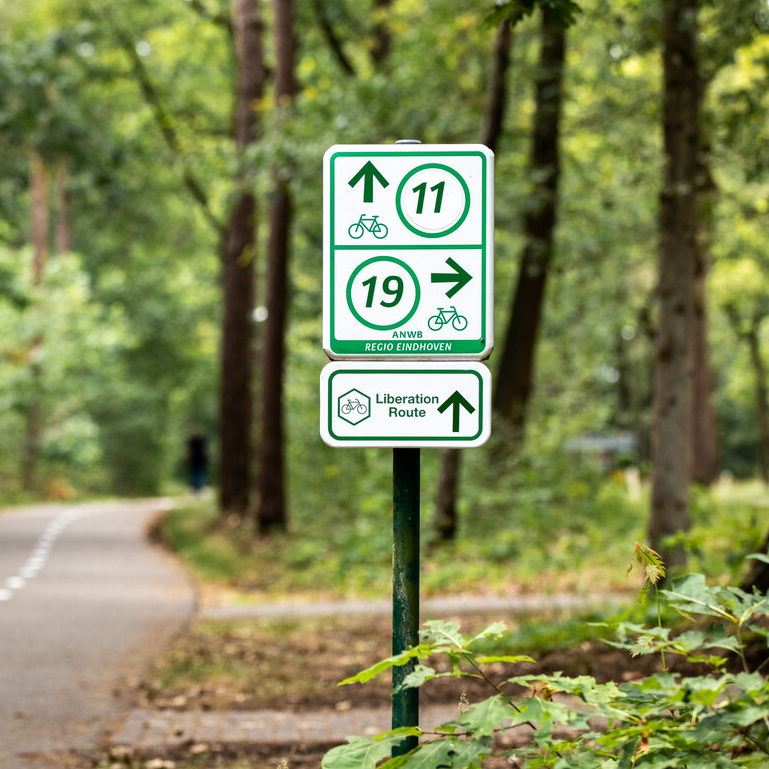
Liberation route Landerd
This route is located in the municipality of Landerd for the most part. Here, airports, crashed aircraft and Operation Market Garden play an important role in the stories and experiences of the residents.
Starting point: from your location


Show all 4 photos

This route is located in the municipality of Landerd for the most part. Here, airports, crashed aircraft and Operation Market Garden play an important role in the stories and experiences of the residents. An area that had a turbulent history at both the beginning and the end of the Second World War. From the Germans who bombarded the casemates in 1940, to the Allies who - with the help of heroic inhabitants - tried to hastily cross the area in 1944.
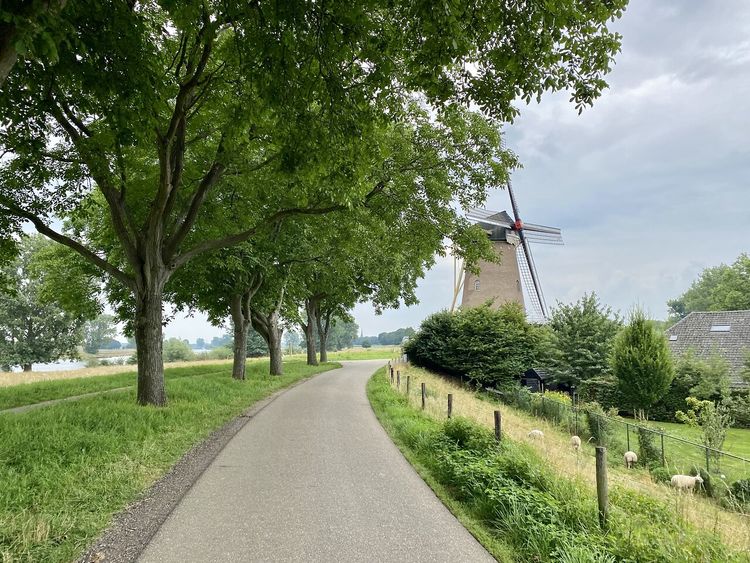
The Liberation Route Brabant tells the story of the liberation, but also shows what the Second World War was like for ordinary people who lived in Brabant at the time. Eight cycling routes, spread across North Brabant, lead you past the Brabant Remembers stories, the Liberation Route Europe audio columns, monuments and museums. Together they make the impact of the war on North Brabant clear, even all these years later.

-
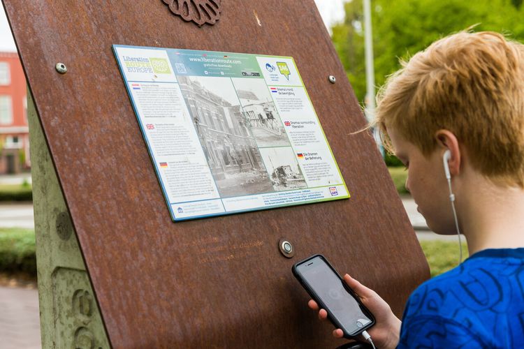
Routes reporting point
Routes reporting pointIf there is something wrong on the route, report it here.
Sights on this route
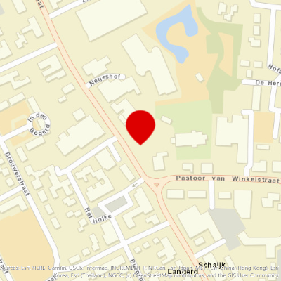
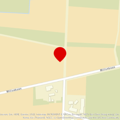
Starting point
Runstraat 2
5374 AC Schaijk
Navigate to starting point

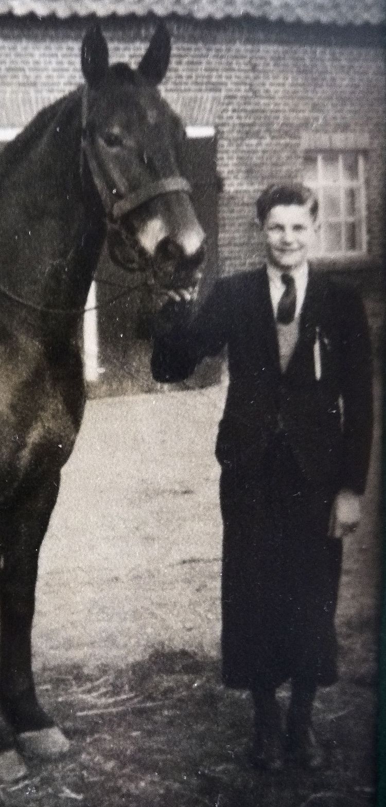
Keent Airfield
Keent Airfield had been used by the army and navy for more than a decade before the Second World War. The airfield proved to be a good addition to Vo1

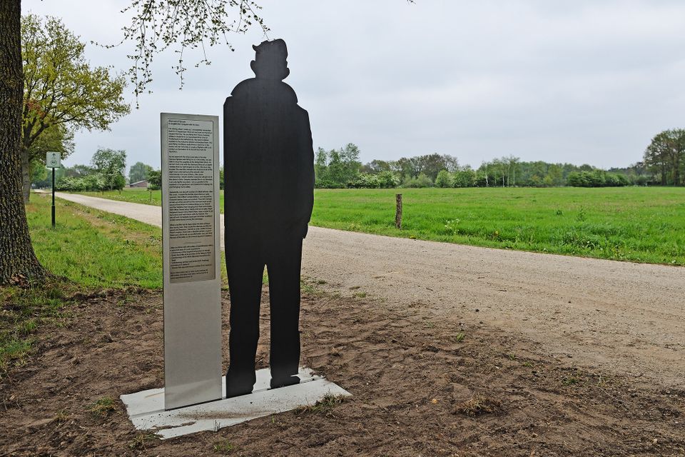
Monument De Beschermengel
The liberation monument De Beschermengel (The Guardian Angel) reminds us of the turbulent times experienced during the liberation. Made by the artist1
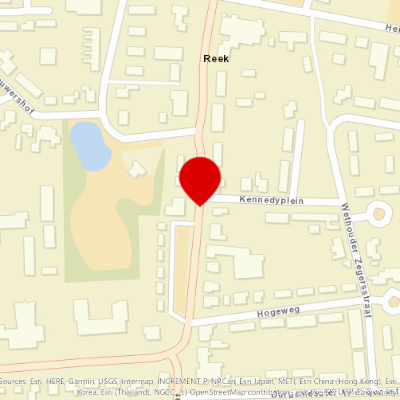
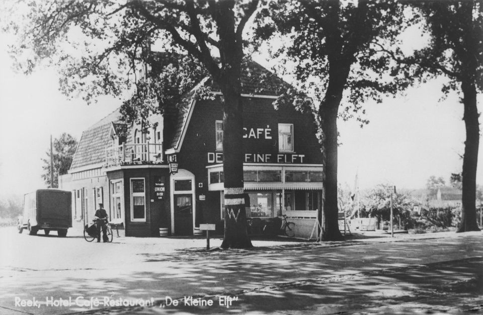
De kleine Elft
After the airborne landings of September 17, the inhabitants of Reek near Grave are awaiting the liberators.
DAKOTA CREWS WAR GRAVES
Dakota KG579 sped over North Brabant with its right engine on fire on 21 September 1944, pursued by German fighter aircraft. The two pilots were unab1
Dear Mrs. Webb
During Operation Market Garden, numerous air battles take place above the operations area and on the approach routes, during which planes are shot do1
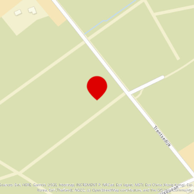
Bomb Crater in the Trentse Bossen woods
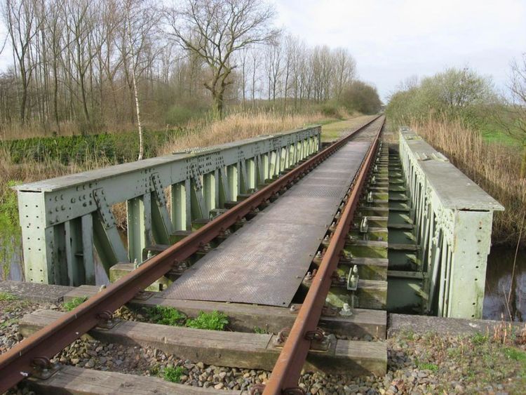
Volkel Air Base was an alternative base for German night-flying operations from Eindhoven and Gilze-Rijen. For this reason it was regularly hit by Al1
Air Base Volkel
The German occupiers began with the construction of the Nachtlandeplatz (night landing strip) Volkel here at the beginning of the Second World War. T1
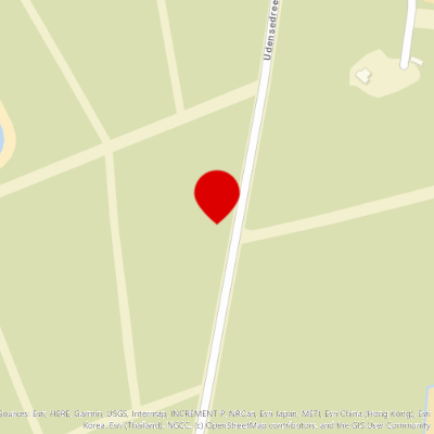
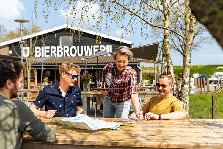
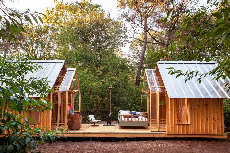
Charme Camping Hartje Groen & De Boshut

Nestled in the woods, in the heart of De Maashorst, the largest contiguous nature reserve in Brabant, is Charme Camping Hartje Groen & De Boshut.
Charme Camping Hartje Groen & De Boshut
Udensedreef 14
5374 RK Schaijk
Story of the route
-
Monument for Peace, Liberty and Responsibility
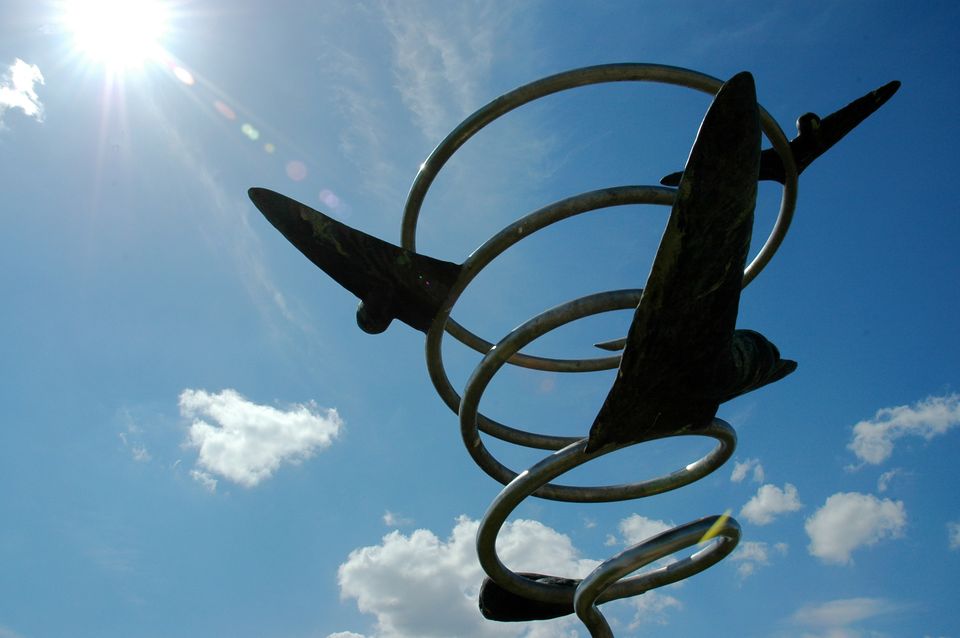
This monument in Schaijk, unveiled on 21 September 2008, was established by the Stichting Vier Vrijheid Schaijk (Schaijk Freedom Foundation). The monument was made possible by a donation from the family of the German pilot Gerard Rohde, who was killed near Schaijk during the Second World War. The plinth displays a round base on which there are three upright, three-dimensional Vs. These Vs touch each other with a flame. The round base contains three maxims which show that freedom and safety should never be taken for granted. -
Keent Airfield
Keent Airfield had been used by the army and navy for more than a decade before the Second World War. The airfield proved to be a good addition to Volkel air base for the Germans during the war. There are more of these Ausweichplätze (alternative sites) or Schattenplätze (shadow sites) in Kessel, De Rips, and Boxmeer, among others. Keent Airfield had been overlooked during the planning of Operation Market Garden. An American unit only noticed the airfield during the operation. Too late for Market Garden, but Keent proved to be useful for the rest of the war. At the end of September 1944 one of the landing strips was adapted so it could be used by fighter aircraft. But by 7 October 1944 the planes were relocated to Volkel as bad weather had put Keent out of action. Nowadays only the memorial erected in 1995 reminds us of the activities of the Allies. -
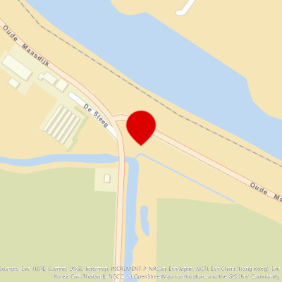
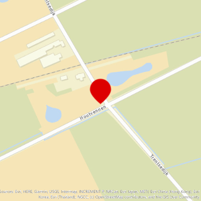
Boulder marking an accident with an amphibious vehicle
On 22 September 1944 a heavily-laden amphibious vehicle was overturned while trying to turn on the narrow Maasdijk. This resulted in five British soldiers from the Somerset Light Infantry perishing in Reek on the sixth day of Operation Market Garden. -
Monument De Beschermengel
The liberation monument De Beschermengel (The Guardian Angel) reminds us of the turbulent times experienced during the liberation. Made by the artist Johan Claasen from Gemert, it portrays a guardian angel or a winged guardian spirit. The tall figure has a hand on its heart with a half-moon above it, as a symbol of the dark days during the war years. Adjoining the right hand the sun rises again, a symbol of the dawn of a new day, and that life goes on in Reek. -
Dakota airmen’s war grave
Pursued by German fighter aircraft, a Dakota KG579 roared over North Brabant on 21 September 1944 with its right-hand motor on fire. Two pilots were unable to free themselves from the Dakota and were killed when it crashed near Volkel. The rest of the crew had been able to escape from the aircraft during this flight to disaster. They came under fire from the pursuing Germans. -
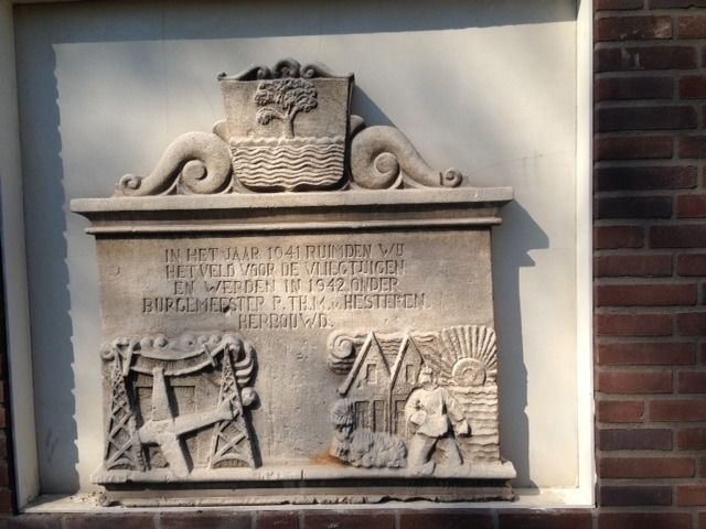
Stone plaque extension Air Base Volkel
On 24 July 1941, the owners of a number of farms in Zeeland received a letter signed by Mayor Van Hesteren. Their houses were to be seized on the orders of the German army. They needed to make way for enlarging the German airfield in Uden, now known as Volkel Air Base. The residents had to clear their houses and find a roof over their heads somewhere else. In 1942, residents who had been driven out moved to four new blocks of houses on Brand in the village of Zeeland. A stone plaque in the facade reminds us of the seizure of their homes. -
Bomb Crater in the Trentse Bossen woods
Volkel Air Base was an alternative base for German night-flying operations from Eindhoven and Gilze-Rijen. For this reason it was regularly hit by Allied bombing missions. But the damage was repairable, at least until the attacks prior to Operation Market Garden. When retreating with their aircraft, the Germans caused so much damage that the Allies could not use ‘Volkel’. You can still see the bomb craters from the many Allied attacks, including those of 15 August and 3 September 1941, in the Trentse Bossen woods -
Air Base Volkel
The German occupiers began with the construction of the Nachtlandeplatz (night landing strip) Volkel here at the beginning of the Second World War. The Luftwaffe were to use the airfield as an alternative base for night-time operations. In 1943 it was extended to become a Fliegerhorst (air base). The fighter planes that were stationed here were used to attack Allied aircraft and protect the Ruhr. - Charme Camping Hartje Groen & De Boshut
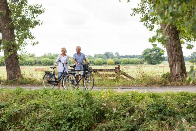
Charme Camping Hartje Groen & De Boshut is an official Brabants Fietscafé; a Brabant Bicycle Café. In these bicycle cafés, cyclists are made to feel especially welcome! You can stop by for a delicious bite to eat or a refreshing drink, and make use of facilities such as a repair kit, bicycle pump and e-bike charging station. These bicycle cafés can be recognised by the hexagonal 'Brabants Fietscafé' sticker on the window.
- 62
- 59
- 61
- 32
- 19
- 20
- 31
- 30
- 28
- 37
- 89
- 90
- 46
- 38
- 39
- 88
- 87
- 96
- 41
- 63
- 62
- 95
- 94
- 40
- 93
- 56
- 92
- 91
- 66
- 45
- 04
- 03
- 25
- 60
Do you like this too?
-
Jan van Gorp cycling and walking route | Sagas & Legends
Jan van Gorp cycling and walking route | Sagas & Legends 2 hour 5 minutes 15.5 km
Discover The Earthly Paradise from Jan van Gorp at Hilvarenbeek.
-
Endless enjoyment
Endless enjoyment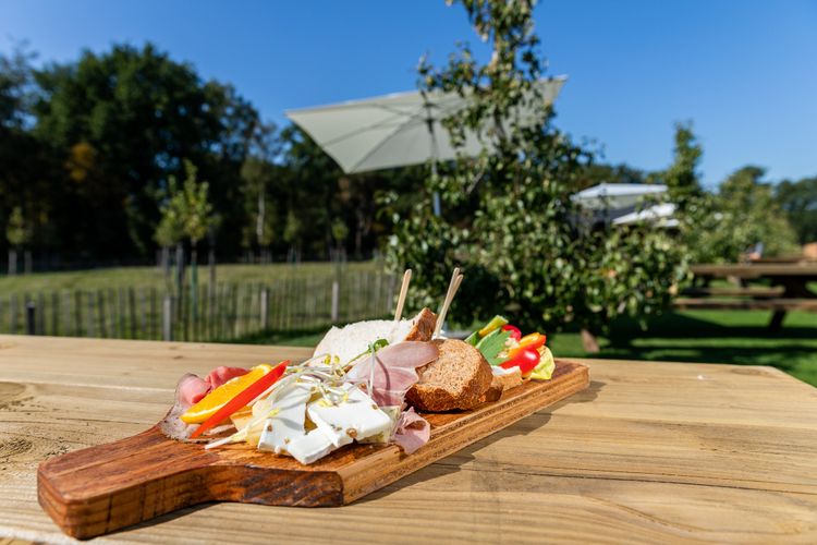 3 hour 38 minutes 45.4 km
This route takes you through a beautiful rustic area along the Belgian border. Go past vast estates, alternated with shady forests and green fields...
-
Van Gogh cycle route Zundert – Northeast
Van Gogh cycle route Zundert – Northeast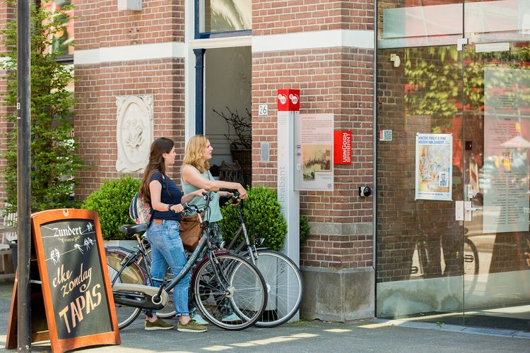 4 hour 40 minutes 56.0 km
This Van Gogh cycle route will introduce you to the six Van Gogh Monuments in Zundert.
-
Liberation route Asten
Liberation route Asten 3 hour 55 minutes 47.0 km
While cycling this route you will be confronted with great deeds, but also with the atrocities of war. You will pass through the area that the Alli...
-
Liberation route Bergeijk
Liberation route Bergeijk 3 hour 55 minutes 47.0 km
This route goes through the area where the English scouts first arrived on Dutch territory. In the run-up to Operation Market Garden, this group of...
-
Vincent van Gogh cycle route Etten-Leur North
Vincent van Gogh cycle route Etten-Leur North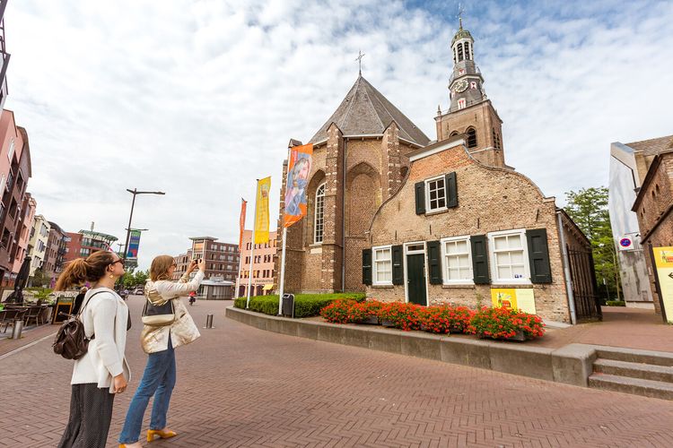 2 hour 30 minutes 32.0 km
This Van Gogh cycle route starts in the centre of Etten-Leur, close to the five Van Gogh Monuments.
-
Cycling route: A taste of Van Gogh
Cycling route: A taste of Van Gogh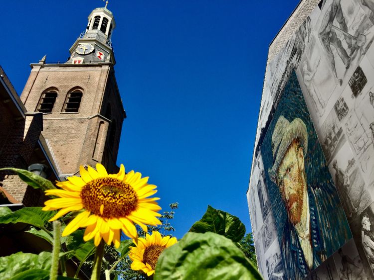 5 hour 50 minutes 70.0 km
The Brabant life and landscape formed the basis of the work by Vincent van Gogh. Vincent was born, grew up and painted his first masterpiece in Bra...
-
Black Kaat bicycle route
Black Kaat bicycle route 3 hour 36.0 km
The bicycle route 'Zwarte Kaat' lets you hunt a legend. Feel her breath in the wind, hear her squeaky voice in the woods, get to know her character...
-
Vincent van Gogh cycle route Etten-Leur South
Vincent van Gogh cycle route Etten-Leur South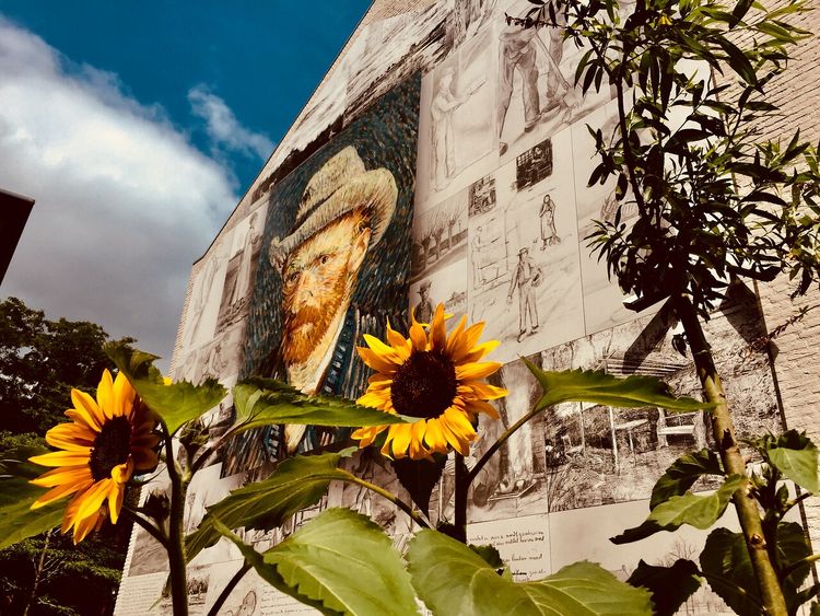 2 hour 25 minutes 29.0 km
The start of a career The Van Gogh family lived in Etten from 1875 to 1882. Father Theodorus was the minister there. Etten was frequently a place o...
-
Liberation route Bergen op Zoom
Liberation route Bergen op Zoom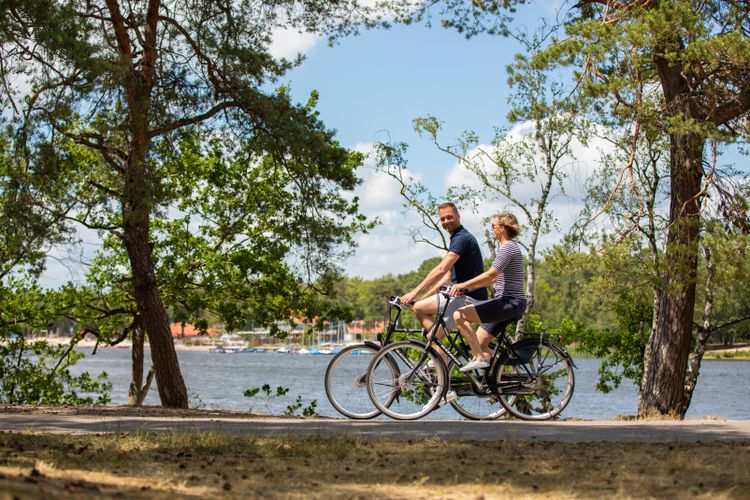 3 hour 20 minutes 40.0 km
On this route, you will cycle through the landscape of the Battle of the Scheldt. The rolling hills separated the water-rich Zeeland from Brabant,...